
Our Services

Emissions Monitoring
Energy producers demand rigorous inspection to ensure safety, compliance, and efficiency. Our scalable drone solutions provide detailed insights while mitigating risks and reducing operational costs.
Damage Assessment
Quickly and accurately assess property or infrastructure damage after disasters such as wildfires, floods, or earthquakes. Perfect for insurance companies, contractors, and local governments.

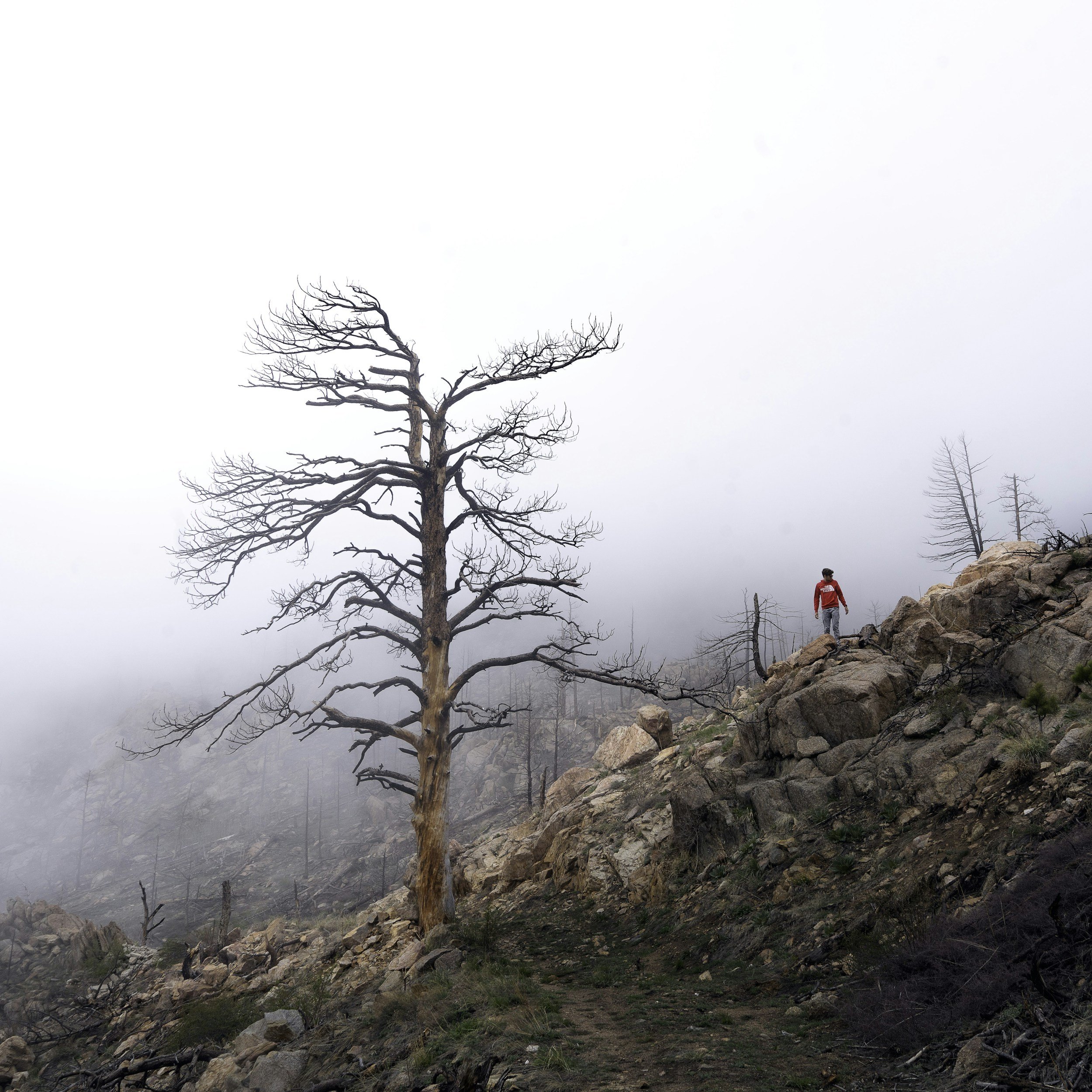
Environmental & Wildlife Monitoring
Monitor and document environmental changes, including habitat changes and restoration, erosion, or wildfire recovery efforts. Specialized imaging options, such as thermal or multispectral, are available.

Infrastructure Inspections
Inspect hard-to-reach infrastructure such as bridges, power lines, and rooftops, minimizing risk and reducing inspection time while ensuring safety and accuracy.

Aerial & Video Photography
Cinematically capture stunning high-resolution images and videos from unique perspectives. Ideal for real estate, marketing campaigns and event coverage.

Construction Site Monitoring
Track progress on construction sites with regular aerial updates, ensuring accurate documentation, improving safety, and enhancing project management.

Search & Rescue Support
Assist in emergency situations with rapid aerial scouting, providing real-time visual data for search and rescue teams in difficult-to-reach areas.

Live-streaming
Provide real-time aerial footage for events or emergency response efforts.

Drone Pilot Training
Learn how to operate drones safely and effectively with hands-on training. Instruction available for hobbyists, aspiring professionals and organizations integrating drones into their operations.

Custom Drone Solutions
Tailor drone operations to meet unique client needs, such as film production or scientific research.
Our
Vision
Our vision is to transform how industries see, analyze and interact with the world. By integrating AI-driven analytics and aerial intelligence, we empower businesses to optimize efficiency, reduce environmental impact and unlock new perspectives. Through innovation, reliability, and precision, we aim to help our clients operate smarter, build sustainably and adapt for the future.

Trusted By


FAQs
-
Yes — Our pilots are FAA Part 107 certified and fully insured to operate commercially.
-
We recommend booking at least 1–2 weeks in advance, especially for multi-day shoots. That said, we often accommodate urgent projects — reach out and we’ll do our best.
*Please note that Airspace Authorizations in controlled airspaces can take up to 60 days.
-
We handle airspace authorizations and flight planning on your behalf. Some locations may require extra lead time depending on FAA and local flight restrictions. Please note some Airspace Authorizations can take up to 60 days to process.
-
Pricing depends on project scope, flight time, post-production needs, and travel.
We offer:Hourly and day rates
Flat-rate packages for repeat clients
Volume discounts for ongoing contracts
Request a free quote and we’ll tailor a package to your needs.
-
Both! We can deliver unedited footage — or provide turnkey post-production solutions.
-
We fly a fleet of professional-grade drones depending on your project’s needs. We also coordinate with specialty operators for LiDAR, thermal, or multispectral work.
-
Absolutely. We regularly collaborate with directors, DPs, editors, and producers to help bring their visions to life. Whether you need a single aerial shot or an entire aerial sequence, we’ve got you covered.
-
Yes — while we’re based in the LA/OC area, we work across California and partner with licensed operators nationally for larger-scale operations.
-
Simple.
📅 Book a free strategy call via our contact page or
📧 Email us at info@westcoastdroneops.com — tell us about your project, and we’ll take it from there.
Contact Us
Interested in working together? Share details here and we will be in touch shortly. We’re looking forward to hearing from you.